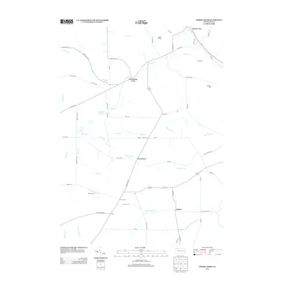
2013 Map of Spring Creek
USGS Topo · Published 2013About this map
Spring Creek and the surrounding rural townships of Warren County are defined by a network of winding waterways and highland ridges. In this upland landscape, small historical settlements like West Spring Creek, East Branch, and Sanford remain connected by a web of local routes including Old Route 77 and Cemetery Rd. The drainage patterns are intricate, with the Brokenstraw Cr and Spring Cr systems carving through the terrain near Neils Ridge and Jackson Hill. A few modern developments, such as Nichols Airport, appear alongside long-standing crossroads like Ross Corners and Cobbs Corners. This topographic record demonstrates the persistence of traditional land divisions and road networks in a region dominated by woodlots and creek valleys like Brandy Run and Hosmer Run.
Find a feature on this map
63 named features on this map. Tap any name to fly to it.
Don’t see what you’re looking for? This feature index may not catch every label — zoom into the map to look around manually.
Map Details
Editions of this 2013 Spring Creek Map
This is the sole edition of this map. No revisions or reprints were ever made.
Other maps of this area

1926 · Youngsville
USGS Topo · 1:62,500

1927 · Tidioute
USGS Topo · 1:48,000

1927 · Titusville
USGS Topo · 1:62,500

1929 · Corry
USGS Topo · 1:48,000

1929 · Youngsville
USGS Topo · 1:62,500

1930 · Tidioute
USGS Topo · 1:62,500

1932 · Corry
USGS Topo · 1:62,500

1933 · Titusville
USGS Topo · 1:62,500

1943 · Youngsville
USGS Topo · 1:62,500

1957 · Warren
USGS Topo · 1:250,000