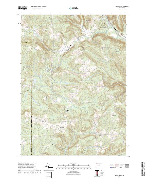
2023 Map of Spring Creek
USGS Topo · Published 2023About this map
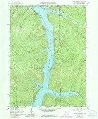
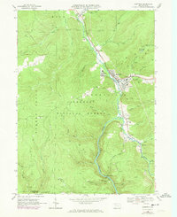
West Spring Creek and the rural crossroads of East Branch and Sanford anchor this landscape along the borders of Warren, Erie, and Crawford counties. The terrain is defined by the high ground of Jackson Hill and Neils Ridge, with a complex network of waterways including Spring Creek, Hosmer Run, and the headwaters of West Branch Caldwell Creek. The settlement pattern is characterized by scattered family farms and quiet community centers, often marked by local cemeteries such as Spring Creek Cem and the Gilson Family Farm Burial Plot. The presence of Nichols Airport near Nichols Farm Ln suggests a legacy of local aviation amidst the hills. These features, along with names like Mickle Hill Rd and Tri Co Line Rd, provide a window into the genealogical and agricultural history of this corner of Pennsylvania.
Find a feature on this map
58 named features on this map. Tap any name to fly to it.
Don’t see what you’re looking for? This feature index may not catch every label — zoom into the map to look around manually.
Map Details
Editions of this 2023 Spring Creek Map
This is the sole edition of this map. No revisions or reprints were ever made.
Historical Maps of Spring Creek Township Through Time
21 maps found

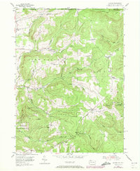
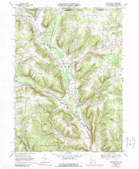
1947 Cherry Grove
Warren County, PA
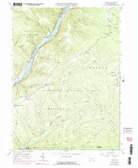
1954 Scandia
Warren County, PA
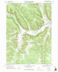
1966 Cherry Grove
Warren County, PA
1966 Cobham
Warren County, PA
1966 Cornplanter Run
Warren County, PA
1966 Sheffield
Warren County, PA
1968 Columbus
Warren County, PA
1968 Grand Valley
Warren County, PA
1968 Lottsville
Warren County, PA
1968 Pittsfield
Warren County, PA
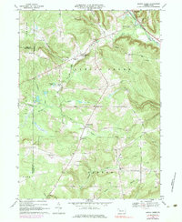
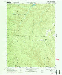
1968 Spring Creek
Warren County, PA
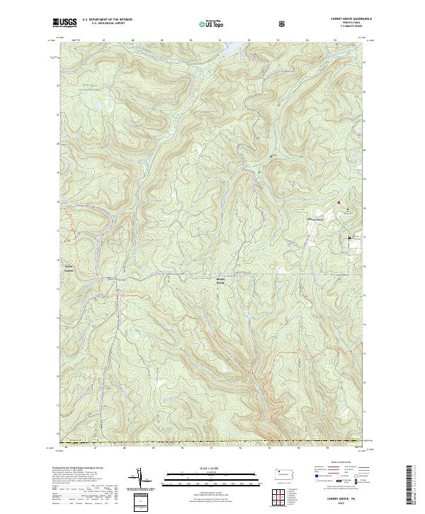
2023 Cherry Grove
Warren County, PA
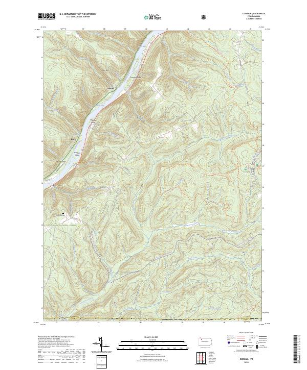
2023 Cobham
Warren County, PA
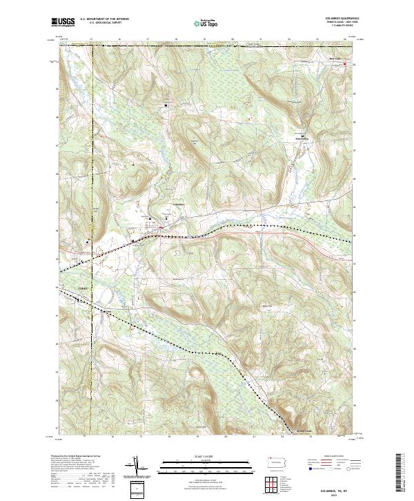
2023 Columbus
Warren County, PA
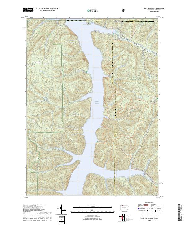
2023 Cornplanter Run
Warren County, PA
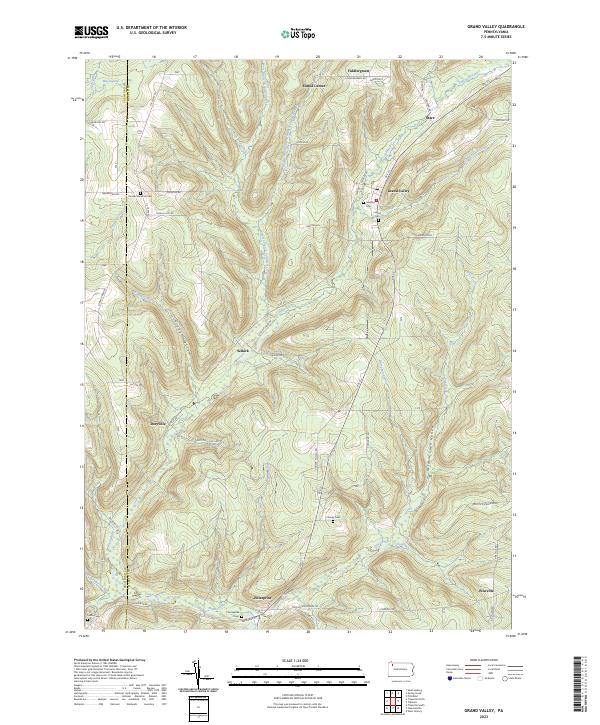
2023 Grand Valley
Warren County, PA
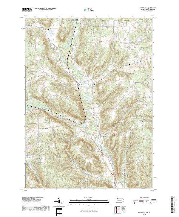
2023 Lottsville
Warren County, PA
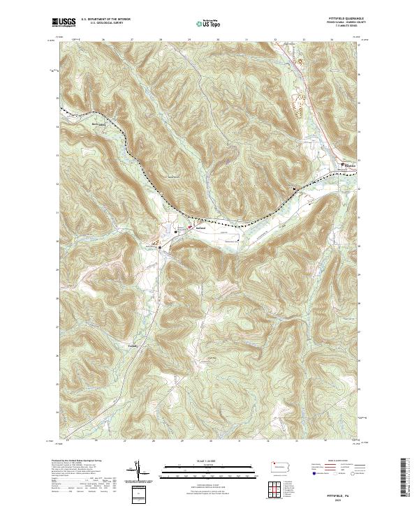
2023 Pittsfield
Warren County, PA
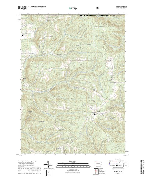
2023 Scandia
Warren County, PA
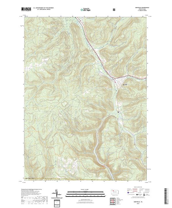
2023 Sheffield
Warren County, PA
2023 Spring Creek
Warren County, PA
Featured Locations
- Sparta Township, PA
- Spring Creek Township, PA
- Concord Township, PA
- East Branch, Spring Creek Township
- West Spring Creek, Spring Creek Township