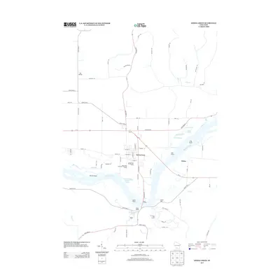
2013 Map of Spring Green
USGS Topo · Published 2013About this map
The Wisconsin River dominates this landscape, weaving a complex network of channels and sandbars that define the southern portion of the area. This 2013 survey reveals the intricate hydrography of the river valley, characterized by numerous islands such as Metcalf Island, Deer Island, and Long Island, alongside quiet backwaters like Hutter Slough and Cynthia Slough. The village of Spring Green sits just north of the river, serving as a hub where State Road 23, State Road 60, and Us-14 converge.
Find a feature on this map
73 named features on this map. Tap any name to fly to it.
Don’t see what you’re looking for? This feature index may not catch every label — zoom into the map to look around manually.
Map Details
Editions of this 2013 Spring Green Map
This is the sole edition of this map. No revisions or reprints were ever made.
Other maps of this area

1901 · Denzer
USGS Topo · 1:62,500

1905 · Richland Center
USGS Topo · 1:125,000

1920 · Blue Mounds
USGS Topo · 1:62,500

1922 · Blue Mounds
USGS Topo · 1:62,500

1957 · Madison
USGS Topo · 1:250,000

1958 · North Freedom
USGS Topo · 1:62,500

1958 · La Crosse
USGS Topo · 1:250,000

1960 · Madison
USGS Topo · 1:250,000

1960 · Plain
USGS Topo · 1:62,500

1960 · Spring Green
USGS Topo · 1:62,500