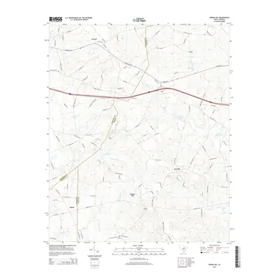
2014 Map of Spring Hill
USGS Topo · Published 2014About this map
Antioch and the surrounding rural landscapes of Kershaw and Lee counties are meticulously detailed in this recent US Topo. The map documents a territory defined by agricultural tradition and swampy lowlands, most notably the winding course of Scape Ore Swamp in the northeast. Small, established communities like Red Hill and Antioch serve as local hubs for a network of county roads and highway routes, including Highway 34 and 31. Genealogists will find particular value in the clearly marked locations of rural burial grounds, such as McCaskill Cem and Sand Hill Cem. The southern half of the map features several named millponds and minor creek branches, indicating the enduring importance of local water management in this South Carolina interior region.
Find a feature on this map
8 named features on this map. Tap any name to fly to it.
Don’t see what you’re looking for? This feature index may not catch every label — zoom into the map to look around manually.
Map Details
Editions of this 2014 Spring Hill Map
This is the sole edition of this map. No revisions or reprints were ever made.
Other maps of this area

1935 · Camden
USGS Topo · 1:48,000

1938 · Camden
USGS Topo · 1:62,500

1938 · Hagood
USGS Topo · 1:62,500

1941 · Spartanburg
USGS Topo · 1:250,000

1942 · Camden
USGS Topo · 1:125,000

1953 · Camden South
USGS Topo · 1:24,000

1953 · Rembert
USGS Topo · 1:24,000

1953 · Spartanburg
USGS Topo · 1:250,000

1957 · Ashwood
USGS Topo · 1:62,500

1960 · Spartanburg
USGS Topo · 1:250,000