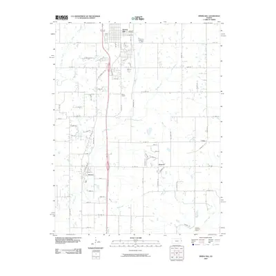
2009 Map of Spring Hill
USGS Topo · Published 2009About this map
Spring Hill anchors the northern portion of this landscape at the dawn of the 21st century, showing its residential grid north of the Spring Hill Post Office. The area is defined by a transition from organized municipal centers like Hillsdale and Wagstaff to a wide-reaching network of section roads, many of which follow the local nomenclature of 200-series streets. This grid is interrupted by the meandering courses of Ten Mile Creek and Wolf Creek, which flow through the undulating countryside towards the south and east. Smaller locales such as Chiles represent the persistent rural crossroads common in this part of Kansas. Aviation history and modern utility intersect here, as evidenced by the presence of both Weiss Airport and the uniquely named Linders Cow-Chip Airport in the southern reaches, providing a clear picture of local land use at this time.
Find a feature on this map
78 named features on this map. Tap any name to fly to it.
Don’t see what you’re looking for? This feature index may not catch every label — zoom into the map to look around manually.
Map Details
Editions of this 2009 Spring Hill Map
This is the sole edition of this map. No revisions or reprints were ever made.
Other maps of this area

1887 · Olathe
USGS Topo · 1:125,000

1893 · Olathe
USGS Topo · 1:125,000

1947 · Lawrence
USGS Topo · 1:250,000

1950 · Lawrence
USGS Topo · 1:250,000

1956 · Stilwell
USGS Topo · 1:24,000

1956 · Bucyrus
USGS Topo · 1:24,000
1956 · Ocheltree
USGS Topo · 1:24,000

1956 · Paola East
USGS Topo · 1:24,000

1956 · Lawrence
USGS Topo · 1:250,000
1957 · Paola West
USGS Topo · 1:24,000