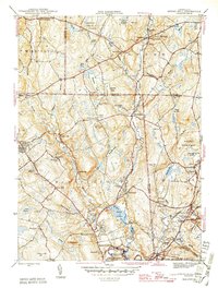
1945 Map of Spring Hill
USGS Topo · Published 1945About this map
The University of Connecticut campus at Storrs anchors the western portion of this mid-1940s landscape, where the academic grounds met the rural character of Tolland and Windham counties. The terrain is defined by the southward flows of the Fenton River, Mount Hope River, and Natchaug River, which supported small industrial and agricultural hamlets like Gurleyville, Atwoodville, and Mansfield Hollow.
Find a feature on this map
76 named features on this map. Tap any name to fly to it.
Don’t see what you’re looking for? This feature index may not catch every label — zoom into the map to look around manually.
Map Details
Editions of this 1945 Spring Hill Map
2 editions found
Other maps of this area

1892 · Woodstock
USGS Topo · 1:62,500

1892 · Tolland
USGS Topo · 1:62,500

1892 · Norwich
USGS Topo · 1:62,500

1892 · Gilead
USGS Topo · 1:62,500

1921 · Tolland
USGS Topo · 1:62,500

1921 · Woodstock
USGS Topo · 1:62,500

1944 · South Coventry
USGS Topo · 1:31,680
1944 · Hampton
USGS Topo · 1:31,680

1944 · Columbia
USGS Topo · 1:31,680
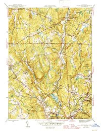
1945 · Spring Hill
USGS Topo · 1:31,680