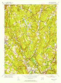
1953 Map of Spring Hill
USGS Topo · Published 1955About this map
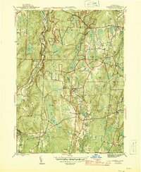
The University of Connecticut campus at Storrs serves as a major hub on this mid-century survey, surrounded by the agricultural and woodland landscapes of northern Tolland County. The region is defined by a series of north-south valleys carved by the Fenton River, Mount Hope River, and Natchaug River, which converge toward the Willimantic Reservoir in the south. These waterways supported early industrial hamlets such as Gurleyville, Atwoodville, and Mansfield Hollow, while the higher ridges provided ground for settlements like Spring Hill and Wormwood Hill. Along the southern edge, the New York New Haven and Hartford railroad cuts through North Windham, tracing the lower valley floor. Local family names are preserved across the landscape in sites like Hillside Cem and Knowlton Pond, while the expansive Natchaug State Forest dominates the eastern hills.
Find a feature on this map
69 named features on this map. Tap any name to fly to it.
Don’t see what you’re looking for? This feature index may not catch every label — zoom into the map to look around manually.
Map Details
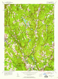
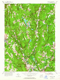
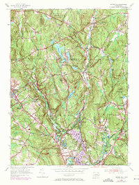
Editions of this 1953 Spring Hill Map
4 editions found
Other maps of this area

1892 · Woodstock
USGS Topo · 1:62,500

1892 · Tolland
USGS Topo · 1:62,500

1892 · Norwich
USGS Topo · 1:62,500

1892 · Gilead
USGS Topo · 1:62,500

1921 · Tolland
USGS Topo · 1:62,500

1921 · Woodstock
USGS Topo · 1:62,500

1944 · South Coventry
USGS Topo · 1:31,680
1944 · Hampton
USGS Topo · 1:31,680

1944 · Columbia
USGS Topo · 1:31,680
1945 · Spring Hill
USGS Topo · 1:31,680