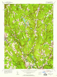
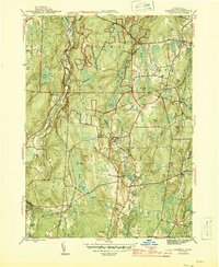
1953 Map of Spring Hill
USGS Topo · Published 1959About this map
The University of Connecticut campus at Storrs serves as a prominent focal point in this mid-century survey of the eastern Highlands. The landscape is defined by the parallel south-flowing paths of the Fenton River and Mount Hope River, which carve through a series of north-south ridges including Wormwood Hill and Tower Hill. This era captures the region's transition from a rural agricultural base to a growing academic and residential hub, while still preserving large tracts of the Natchaug State Forest.
Find a feature on this map
74 named features on this map. Tap any name to fly to it.
Don’t see what you’re looking for? This feature index may not catch every label — zoom into the map to look around manually.
Map Details
Editions of this 1953 Spring Hill Map
4 editions found
Other maps of this area

1892 · Woodstock
USGS Topo · 1:62,500

1892 · Tolland
USGS Topo · 1:62,500

1892 · Norwich
USGS Topo · 1:62,500

1892 · Gilead
USGS Topo · 1:62,500

1921 · Tolland
USGS Topo · 1:62,500

1921 · Woodstock
USGS Topo · 1:62,500

1944 · South Coventry
USGS Topo · 1:31,680
1944 · Hampton
USGS Topo · 1:31,680

1944 · Columbia
USGS Topo · 1:31,680
1945 · Spring Hill
USGS Topo · 1:31,680