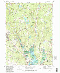
1983 Map of Spring Hill
USGS Topo · Published 1988About this map
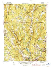
The University of Connecticut campus at Storrs anchors the western edge of this landscape, where the academic hub meets the rural topography of eastern Connecticut. The 1980s terrain is defined by the significant hydrological impact of Mansfield Hollow Lake, a large reservoir created by the damming of the Fenton River and Mount Hope River. This engineering project fundamentally altered the valley, surrounding the historic crossroads of Mansfield Hollow and providing a backdrop for Mansfield Hollow State Park.
Find a feature on this map
88 named features on this map. Tap any name to fly to it.
Don’t see what you’re looking for? This feature index may not catch every label — zoom into the map to look around manually.
Map Details
Editions of this 1983 Spring Hill Map
3 editions found
Other maps of this area

1892 · Woodstock
USGS Topo · 1:62,500

1892 · Tolland
USGS Topo · 1:62,500

1892 · Norwich
USGS Topo · 1:62,500

1892 · Gilead
USGS Topo · 1:62,500

1921 · Tolland
USGS Topo · 1:62,500

1921 · Woodstock
USGS Topo · 1:62,500

1944 · South Coventry
USGS Topo · 1:31,680
1944 · Hampton
USGS Topo · 1:31,680

1944 · Columbia
USGS Topo · 1:31,680
1945 · Spring Hill
USGS Topo · 1:31,680