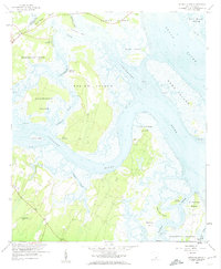
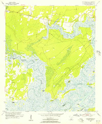
1958 Map of Spring Island
USGS Topo · Published 1961About this map
Spring Island and the surrounding labyrinth of tidal creeks and marshes dominate this coastal South Carolina landscape during the late 1950s. The region is characterized by narrow necks of land and isolated islands separated by the Chechessee River, Colleton River, and Broad River. Settlement patterns are sparse, defined primarily by river access points such as Fripp Landing, Pineckney Landing, and Copp Landing, reflecting an era before modern bridge access transformed many of these Sea Islands.
Find a feature on this map
38 named features on this map. Tap any name to fly to it.
Don’t see what you’re looking for? This feature index may not catch every label — zoom into the map to look around manually.
Map Details
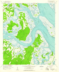
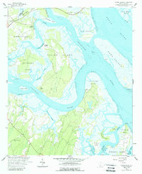
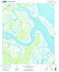
Editions of this 1958 Spring Island Map
4 editions found
Other maps of this area

1920 · Okatie
USGS Topo · 1:62,500

1920 · Hilton Head
USGS Topo · 1:62,500

1920 · Bluffton
USGS Topo · 1:62,500

1942 · Okatie
USGS Topo · 1:62,500

1944 · Fort Fremont
USGS Topo · 1:62,500

1945 · Bluffton
USGS Topo · 1:62,500

1945 · Hilton Head
USGS Topo · 1:62,500

1947 · Savannah
USGS Topo · 1:250,000

1948 · Savannah
USGS Topo · 1:250,000
1955 · Pritchardville
USGS Topo · 1:24,000