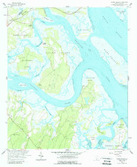
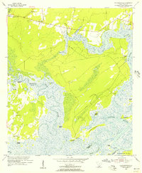
1958 Map of Spring Island
USGS Topo · Published 1988About this map
The tidal marshes and barrier islands of the Lowcountry dominate this mid-century survey, where the Colleton River and Broad River converge amidst a complex network of creeks and sounds. Landings such as Fripp Landing, Pinckney Landing, and Copp Landing indicate the maritime connectivity of the era, providing essential access points to Spring Island and Callawassie Island before modern infrastructure transformed the region.
Find a feature on this map
42 named features on this map. Tap any name to fly to it.
Don’t see what you’re looking for? This feature index may not catch every label — zoom into the map to look around manually.
Map Details
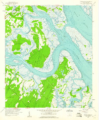
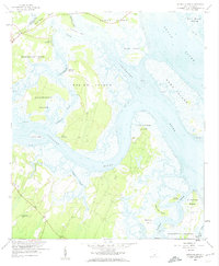
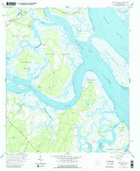
Editions of this 1958 Spring Island Map
4 editions found
Other maps of this area

1920 · Okatie
USGS Topo · 1:62,500

1920 · Hilton Head
USGS Topo · 1:62,500

1920 · Bluffton
USGS Topo · 1:62,500

1942 · Okatie
USGS Topo · 1:62,500

1944 · Fort Fremont
USGS Topo · 1:62,500

1945 · Bluffton
USGS Topo · 1:62,500

1945 · Hilton Head
USGS Topo · 1:62,500

1947 · Savannah
USGS Topo · 1:250,000

1948 · Savannah
USGS Topo · 1:250,000
1955 · Pritchardville
USGS Topo · 1:24,000