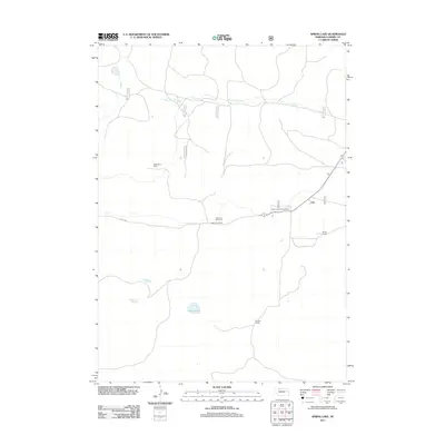
2011 Map of Spring Lake
USGS Topo · Published 2011About this map
Spring Lake and the winding course of Steer Creek define this section of Cherry County, a landscape shaped by large-scale ranching and the sandy terrain of the Nebraska Sandhills. The presence of several established ranching operations, including Wallingford Ranch, Diamond Bar Ranch, Adamson Ranch, Burge Ranch, and Shields Ranch, illustrates the area's ongoing cattle-raising tradition. At the heart of the map, the Steer Creek Campground sits near a junction of Forest Service roads, including 7608 and 7602 2, providing a rare point of public utility in a region of private holdings. To the west, the area designated as Doughboy suggests the undulating topography characteristic of this part of the state, where water features like the lake and creek remain vital lifelines for the agricultural communities.
Find a feature on this map
15 named features on this map. Tap any name to fly to it.
Don’t see what you’re looking for? This feature index may not catch every label — zoom into the map to look around manually.
Map Details
Editions of this 2011 Spring Lake Map
This is the sole edition of this map. No revisions or reprints were ever made.
Other maps of this area

1950 · Powderhorn Valley
USGS Topo · 1:62,500

1950 · Cody
USGS Topo · 1:62,500

1950 · Doughboy
USGS Topo · 1:62,500

1952 · Eli
USGS Topo · 1:62,500

1952 · Doughboy
USGS Topo · 1:62,500

1957 · Valentine
USGS Topo · 1:250,000

1959 · Valentine
USGS Topo · 1:250,000

1985 · Powderhorn Valley SW
USGS Topo · 1:24,000

1985 · Heath Valley
USGS Topo · 1:24,000

1985 · Eli SE
USGS Topo · 1:24,000