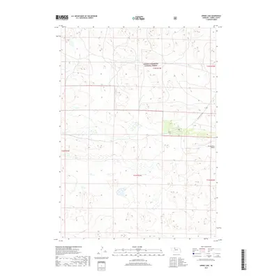
2017 Map of Spring Lake
USGS Topo · Published 2017About this map
The Samuel R McKelvie National Forest occupies the northern half of this landscape, characterized by the intricate drainage patterns of Steer Cr and the undulating sandhills of Cherry County. The area is notably sparse in human infrastructure, reflecting the conservation and ranching character of the Nebraska Sandhills. A few key landmarks dot the terrain, such as Spring Lake and the natural basin of Chamberlain Valley to the east. Transportation is limited to a single primary artery, State Hwy Spur 16F, which provides access to this remote interior. For researchers, the map illustrates the persistence of large-scale open range and public land management in a region defined by its fragile ecosystem and historical reliance on local water sources in an otherwise arid environment.
Find a feature on this map
11 named features on this map. Tap any name to fly to it.
Don’t see what you’re looking for? This feature index may not catch every label — zoom into the map to look around manually.
Map Details
Editions of this 2017 Spring Lake Map
This is the sole edition of this map. No revisions or reprints were ever made.
Other maps of this area

1950 · Powderhorn Valley
USGS Topo · 1:62,500

1950 · Cody
USGS Topo · 1:62,500

1950 · Doughboy
USGS Topo · 1:62,500

1952 · Eli
USGS Topo · 1:62,500

1952 · Doughboy
USGS Topo · 1:62,500

1957 · Valentine
USGS Topo · 1:250,000

1959 · Valentine
USGS Topo · 1:250,000

1985 · Powderhorn Valley SW
USGS Topo · 1:24,000

1985 · Heath Valley
USGS Topo · 1:24,000

1985 · Eli SE
USGS Topo · 1:24,000