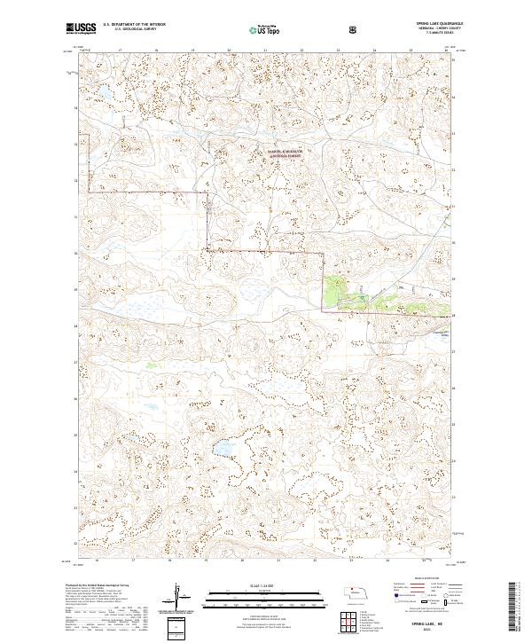
2021 Map of Spring Lake
USGS Topo · Published 2021About this map
The Samuel R McKelvie National Forest dominates this section of the Nebraska Sandhills, preserving a landscape of stabilized dunes and unique prairie ecosystems. The topography is defined by the winding course of Steer Cr in the north and the depression of Chamberlain Valley to the east. Water is a critical feature in this arid region, anchored here by the namesake Spring Lake. While the terrain remains largely open and undeveloped, localized access is provided by Blue Jay Trl and State Hwy Spur 16F, which connect the forest lands to the broader region. This 2021 survey illustrates the modern management of these public lands, showing the intersection of natural drainage patterns and the established township and range grid system.
Find a feature on this map
12 named features on this map. Tap any name to fly to it.
Don’t see what you’re looking for? This feature index may not catch every label — zoom into the map to look around manually.
Map Details
Editions of this 2021 Spring Lake Map
This is the sole edition of this map. No revisions or reprints were ever made.
Other maps of this area

1950 · Powderhorn Valley
USGS Topo · 1:62,500

1950 · Cody
USGS Topo · 1:62,500

1950 · Doughboy
USGS Topo · 1:62,500

1952 · Eli
USGS Topo · 1:62,500

1952 · Doughboy
USGS Topo · 1:62,500

1957 · Valentine
USGS Topo · 1:250,000

1959 · Valentine
USGS Topo · 1:250,000

1985 · Powderhorn Valley SW
USGS Topo · 1:24,000

1985 · Heath Valley
USGS Topo · 1:24,000

1985 · Eli SE
USGS Topo · 1:24,000