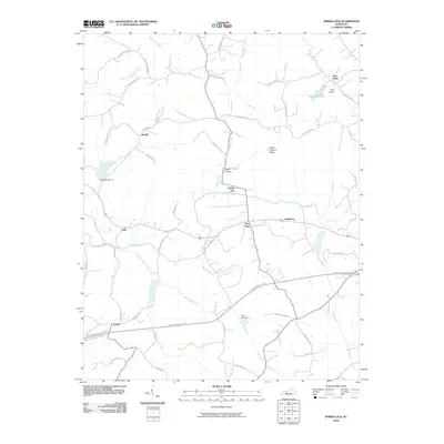
2010 Map of Spring Lick
USGS Topo · Published 2010About this map
Spring Lick serves as a central point in this part of western Kentucky, where the confluence of Spring Creek and Caney Creek dictates the local geography. The landscape is defined by a dense network of winding rural roads and small settlements like Jugville, Steff, and Neafus. Notable family and community landmarks are scattered throughout the hills, including Kiper Hollow and Peach Orchard Ridge.
Find a feature on this map
56 named features on this map. Tap any name to fly to it.
Don’t see what you’re looking for? This feature index may not catch every label — zoom into the map to look around manually.
Map Details
Editions of this 2010 Spring Lick Map
This is the sole edition of this map. No revisions or reprints were ever made.
Other maps of this area

1922 · Leitchfield
USGS Topo · 1:48,000

1925 · Spring Lick
USGS Topo · 1:62,500

1925 · Leitchfield
USGS Topo · 1:62,500

1932 · Fordsville
USGS Topo · 1:62,500

1953 · Mc Daniels
USGS Topo · 1:24,000

1953 · Ready
USGS Topo · 1:24,000

1953 · Falls Of Rough
USGS Topo · 1:24,000

1954 · Evansville
USGS Topo · 1:250,000

1954 · Spring Lick
USGS Topo · 1:24,000

1954 · Welchs Creek
USGS Topo · 1:24,000