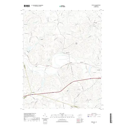
2019 Map of Spring Lick
USGS Topo · Published 2019About this map
Caney Creek and its many tributaries, including Mistaken Cr and Brushy Pond Cr, define the drainage of this western Kentucky landscape. The area is characterized by a high density of small rural settlements and place names, many located along the winding path of Caney Creek and its neighboring ridges. To the north, Pine Knob rises near its namesake Pine Knob Lake, while Peach Orchard Ridge and Kiper Hollow mark the dissected terrain to the south. Transportation is anchored by the Western Kentucky Parkway and Beaver Dam Rd, which connect communities like Spring Lick, Smithview, and Do Stop. The map also captures several tri-county boundaries where Grayson, Butler, and Ohio Counties meet near the village of Neafus, providing a clear look at the intersection of local jurisdictions and rural road networks.
Find a feature on this map
76 named features on this map. Tap any name to fly to it.
Don’t see what you’re looking for? This feature index may not catch every label — zoom into the map to look around manually.
Map Details
Editions of this 2019 Spring Lick Map
This is the sole edition of this map. No revisions or reprints were ever made.
Other maps of this area

1922 · Leitchfield
USGS Topo · 1:48,000

1925 · Spring Lick
USGS Topo · 1:62,500

1925 · Leitchfield
USGS Topo · 1:62,500

1932 · Fordsville
USGS Topo · 1:62,500

1953 · Mc Daniels
USGS Topo · 1:24,000

1953 · Ready
USGS Topo · 1:24,000

1953 · Falls Of Rough
USGS Topo · 1:24,000

1954 · Evansville
USGS Topo · 1:250,000

1954 · Spring Lick
USGS Topo · 1:24,000

1954 · Welchs Creek
USGS Topo · 1:24,000