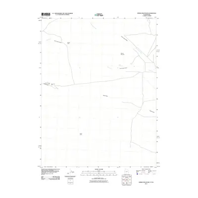
2011 Map of Spring Mountain
USGS Topo · Published 2011About this map
The Marble Monster Mine and Marble Vale Mine sit along the western edge of this 2011 survey, reflecting the localized extraction history in this corner of Millard County. The terrain is defined by dry watercourses and prominent landforms, including the drainage of Marble Wash and the distinct elevation of Petes Knoll to the south. In the north, the landscape narrows through Devils Gate Canyon toward the landmark of Devils Gate, while Indian George Wash cuts a wide path across the northeastern section.
Find a feature on this map
10 named features on this map. Tap any name to fly to it.
Don’t see what you’re looking for? This feature index may not catch every label — zoom into the map to look around manually.
Map Details
Editions of this 2011 Spring Mountain Map
This is the sole edition of this map. No revisions or reprints were ever made.
Other maps of this area

1908 · Fish Springs
USGS Topo · 1:250,000

1910 · Fish Springs
USGS Topo · 1:250,000

1953 · Delta
USGS Topo · 1:250,000

1956 · Ely
USGS Topo · 1:250,000

1958 · Delta
USGS Topo · 1:250,000

1959 · Ely
USGS Topo · 1:250,000

1960 · Gandy
USGS Topo · 1:62,500

1961 · Trout Creek
USGS Topo · 1:62,500

1962 · Delta
USGS Topo · 1:250,000

1963 · Ely
USGS Topo · 1:250,000