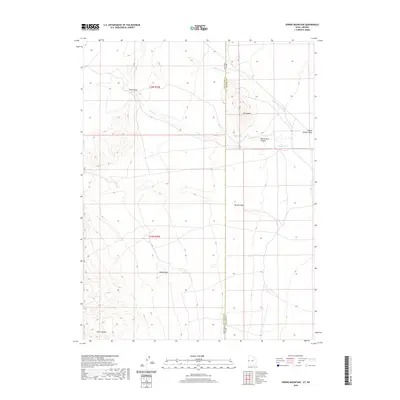
2020 Map of Spring Mountain
USGS Topo · Published 2020About this map
Spring Mountain and the high ridges of the Snake Range define this high-desert boundary where the Great Basin transitions across the Nevada-Utah state line. This 2020 survey documents a landscape shaped by intermittent water and geological transitions, notably where Swan Creek flows toward Devils Gate Canyon and the secluded Warm Springs. The topography is marked by distinctive local landmarks like Petes Knoll and Marble Wash, which suggest a terrain of significant relief used primarily for ranching and resource management. The map provides clear evidence of the complex drainage patterns in this arid region, including Indian George Wash, while showing the section lines of the Public Land Survey System that govern the sparsely populated borderlands between White Pine County and Millard County.
Find a feature on this map
13 named features on this map. Tap any name to fly to it.
Don’t see what you’re looking for? This feature index may not catch every label — zoom into the map to look around manually.
Map Details
Editions of this 2020 Spring Mountain Map
This is the sole edition of this map. No revisions or reprints were ever made.
Other maps of this area

1908 · Fish Springs
USGS Topo · 1:250,000

1910 · Fish Springs
USGS Topo · 1:250,000

1953 · Delta
USGS Topo · 1:250,000

1956 · Ely
USGS Topo · 1:250,000

1958 · Delta
USGS Topo · 1:250,000

1959 · Ely
USGS Topo · 1:250,000

1960 · Gandy
USGS Topo · 1:62,500

1961 · Trout Creek
USGS Topo · 1:62,500

1962 · Delta
USGS Topo · 1:250,000

1963 · Ely
USGS Topo · 1:250,000