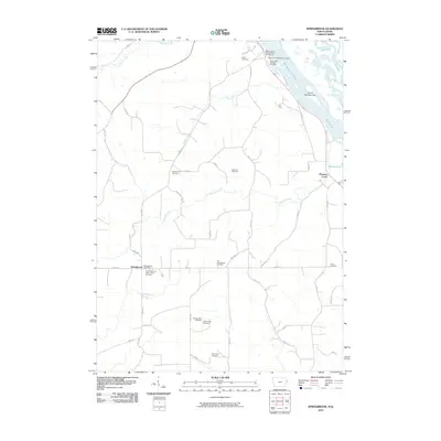
2010 Map of Springbrook
USGS Topo · Published 2010About this map
The Mississippi River forms the eastern boundary of this landscape, carving out Island Number 249 and the winding Crooked Slough. Inland, the terrain is defined by a dense network of family-named burial sites and small settlements, including Springbrook and Pleasant Creek. The concentration of sites like the Monner Farm Cemetery, Homan Farm Cemetery, and Helm Farm Cemetery provides a clear view of the area's agricultural heritage and family landholdings.
Find a feature on this map
49 named features on this map. Tap any name to fly to it.
Don’t see what you’re looking for? This feature index may not catch every label — zoom into the map to look around manually.
Map Details
Editions of this 2010 Springbrook Map
This is the sole edition of this map. No revisions or reprints were ever made.
Other maps of this area

1891 · Maquoketa
USGS Topo · 1:62,500

1901 · Peosta
USGS Topo · 1:125,000

1911 · Galena
USGS Topo · 1:62,500

1913 · Galena
USGS Topo · 1:62,500

1935 · East Dubuque
USGS Topo · 1:62,500

1935 · Miles
USGS Topo · 1:62,500

1940 · East Dubuque
USGS Topo · 1:62,500

1941 · Miles
USGS Topo · 1:62,500

1953 · Green Island
USGS Topo · 1:24,000

1959 · Dubuque
USGS Topo · 1:250,000