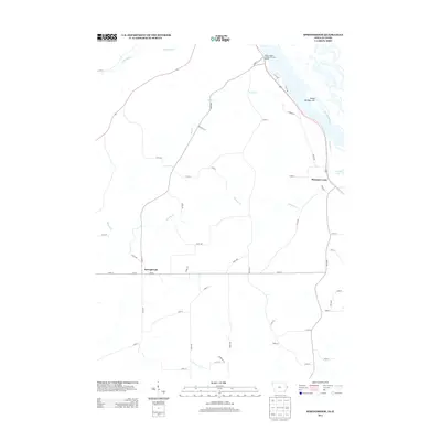
2013 Map of Springbrook
USGS Topo · Published 2013About this map
Springbrook serves as the primary hub of this eastern Iowa landscape, situated at the junction of W Main and 362nd Ave. The terrain is defined by the winding course of Pleasant Cr as it moves toward the Mississippi River, which dominates the northeastern corner of the map. Along the riverbank, the Shady Haven Camper Park and Marina indicates the importance of the river for local recreation and transit, while Island Number 249 sits just offshore near the mouth of the creek.
Find a feature on this map
53 named features on this map. Tap any name to fly to it.
Don’t see what you’re looking for? This feature index may not catch every label — zoom into the map to look around manually.
Map Details
Editions of this 2013 Springbrook Map
This is the sole edition of this map. No revisions or reprints were ever made.
Other maps of this area

1891 · Maquoketa
USGS Topo · 1:62,500

1901 · Peosta
USGS Topo · 1:125,000

1911 · Galena
USGS Topo · 1:62,500

1913 · Galena
USGS Topo · 1:62,500

1935 · East Dubuque
USGS Topo · 1:62,500

1935 · Miles
USGS Topo · 1:62,500

1940 · East Dubuque
USGS Topo · 1:62,500

1941 · Miles
USGS Topo · 1:62,500

1953 · Green Island
USGS Topo · 1:24,000

1959 · Dubuque
USGS Topo · 1:250,000