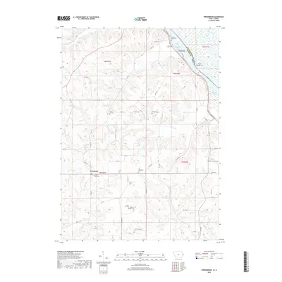
2018 Map of Springbrook
USGS Topo · Published 2018About this map
Springbrook serves as the primary inland hub of this Jackson County landscape, situated where the rolling uplands of eastern Iowa begin their descent toward the river valley. The settlement is anchored by the Saint Peter and Paul Catholic Cem, reflecting the area's deep-rooted community ties. To the northeast, the Mississippi River forms the state boundary with Illinois, its course winding past Island Number 249 and Harrington Slough.
Find a feature on this map
66 named features on this map. Tap any name to fly to it.
Don’t see what you’re looking for? This feature index may not catch every label — zoom into the map to look around manually.
Map Details
Editions of this 2018 Springbrook Map
This is the sole edition of this map. No revisions or reprints were ever made.
Other maps of this area

1891 · Maquoketa
USGS Topo · 1:62,500

1901 · Peosta
USGS Topo · 1:125,000

1911 · Galena
USGS Topo · 1:62,500

1913 · Galena
USGS Topo · 1:62,500

1935 · East Dubuque
USGS Topo · 1:62,500

1935 · Miles
USGS Topo · 1:62,500

1940 · East Dubuque
USGS Topo · 1:62,500

1941 · Miles
USGS Topo · 1:62,500

1953 · Green Island
USGS Topo · 1:24,000

1959 · Dubuque
USGS Topo · 1:250,000