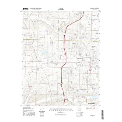
2017 Map of Springdale
USGS Topo · Published 2017About this map
Springdale and its surrounding communities in the Ozark plateau appear here in a period of significant suburban integration and recreational development. The landscape is defined by its water network, including Spring Creek, Brush Creek, and Clear Creek, which feed into larger bodies like Lake Elmdale and Lake Fayetteville. These lakes, along with the Razorback Regional Greenway and Lake Fayetteville Trail, illustrate the area's modern emphasis on green space amidst the growing residential footprints of Lowell, Johnson, and Tontitown.
Find a feature on this map
53 named features on this map. Tap any name to fly to it.
Don’t see what you’re looking for? This feature index may not catch every label — zoom into the map to look around manually.
Map Details
Editions of this 2017 Springdale Map
This is the sole edition of this map. No revisions or reprints were ever made.
Other maps of this area

1899 · Fayetteville
USGS Topo · 1:125,000

1901 · Fayetteville
USGS Topo · 1:125,000

1904 · Fayetteville
USGS Topo · 1:125,000

1954 · Tulsa
USGS Topo · 1:250,000

1958 · Sonora
USGS Topo · 1:24,000

1958 · Rogers
USGS Topo · 1:24,000

1958 · Fayetteville
USGS Topo · 1:24,000

1958 · Elkins
USGS Topo · 1:24,000

1958 · Tulsa
USGS Topo · 1:250,000

1963 · Tulsa
USGS Topo · 1:250,000