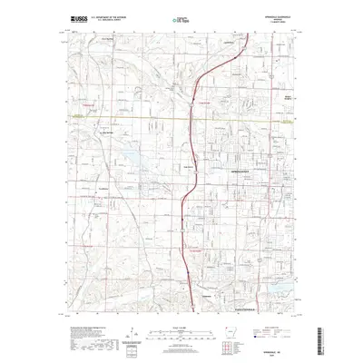
2020 Map of Springdale
USGS Topo · Published 2020About this map
Springdale sits at the center of this 2020 Arkansas survey, showcasing the continued growth and suburban development between the major hubs of Northwest Arkansas. The landscape is defined by the headwaters of the Illinois River basin, with Spring Creek and Brush Creek threading through established neighborhoods and agricultural remnants. Modern infrastructure is prominent, from the Interstate 49 corridor to the extensive street grid connecting Tontitown, Elm Springs, and Johnson. Local history remains visible through numerous family and community burial grounds such as Silent Grove Cem and Goad Springs Cem, while recreational focus points like Lake Elmdale and the northern reaches of Lake Fayetteville highlight the region's managed water resources. The map also identifies educational and topographic landmarks, including Ecclesia College and the distinct elevation of Callahan Mtn north of the city.
Find a feature on this map
259 named features on this map. Tap any name to fly to it.
Don’t see what you’re looking for? This feature index may not catch every label — zoom into the map to look around manually.
Map Details
Editions of this 2020 Springdale Map
This is the sole edition of this map. No revisions or reprints were ever made.
Other maps of this area

1899 · Fayetteville
USGS Topo · 1:125,000

1901 · Fayetteville
USGS Topo · 1:125,000

1904 · Fayetteville
USGS Topo · 1:125,000

1954 · Tulsa
USGS Topo · 1:250,000

1958 · Sonora
USGS Topo · 1:24,000

1958 · Rogers
USGS Topo · 1:24,000

1958 · Fayetteville
USGS Topo · 1:24,000

1958 · Elkins
USGS Topo · 1:24,000

1958 · Tulsa
USGS Topo · 1:250,000

1963 · Tulsa
USGS Topo · 1:250,000