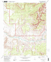
1980 Map of Springdale West
USGS Topo · Published 1980About this map
The Virgin River corridor serves as the lifeblood of this desert landscape, where the small agricultural settlements of Rockville and Grafton sit perched along its banks. By the time of this 1980 edition, the dramatic transition from the river valley to the towering heights of Zion National Park is clearly documented. The mapping shows a complex network of dry washes, including Coalpits Wash and Petrified Forest Wash, carving into the sandstone plateaus. To the south, Grafton Mesa and Gooseberry Mesa dominate the horizon, while the town of Springdale marks the gateway to the massive formations of the north. This survey captures the rural character of the river valley before modern expansion, preserving the locations of the Cem near Grafton and the intricate trails navigating the cliffs of the Vermilion Cliffs and Eagle Crags.
Find a feature on this map
44 named features on this map. Tap any name to fly to it.
Don’t see what you’re looking for? This feature index may not catch every label — zoom into the map to look around manually.
Map Details
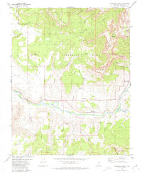
Editions of this 1980 Springdale West Map
2 editions found
Other maps of this area

1885 · St. George
USGS Topo · 1:250,000

1886 · Kanab
USGS Topo · 1:250,000

1891 · St. George
USGS Topo · 1:250,000

1953 · Cedar City
USGS Topo · 1:250,000

1954 · La Verkin 4 SE
USGS Topo · 1:24,000

1954 · La Verkin 4 NW
USGS Topo · 1:24,000

1954 · La Verkin 4 SW
USGS Topo · 1:24,000

1954 · La Verkin 1 SW
USGS Topo · 1:24,000
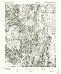
1956 · Springdale SW
USGS Topo · 1:24,000

1958 · Cedar City
USGS Topo · 1:250,000