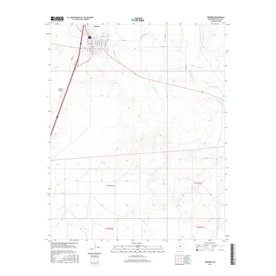
2017 Map of Springer
USGS Topo · Published 2017About this map
Springer serves as a vital transit hub in Colfax County where the high plains meet the riparian corridors of the Cimarron River and Canadian River. This 2017 survey details the town's grid, featuring streets like El Paso Ave, Maxwell Ave, and Railroad Ave that reflect its historical development along the rail lines. The confluence of Salado Cr and the larger river systems provides a clear view of the drainage patterns essential to this semi-arid ranching region. On the western edge of town, the Springer Municipal Airport and Airport Rd mark the modern infrastructure supporting this rural community. The map provides precise detail for researchers tracing land ownership through the township and range system, including t24n r22e and t24n r23e, showing how the landscape is divided between the developed town center and the open terrain of the surrounding river valleys.
Find a feature on this map
32 named features on this map. Tap any name to fly to it.
Don’t see what you’re looking for? This feature index may not catch every label — zoom into the map to look around manually.
Map Details
Editions of this 2017 Springer Map
This is the sole edition of this map. No revisions or reprints were ever made.
Other maps of this area

1954 · Raton
USGS Topo · 1:250,000

1958 · Raton
USGS Topo · 1:250,000

1964 · Stony Lake
USGS Topo · 1:24,000

1964 · Colmor
USGS Topo · 1:24,000

1964 · Pinon Hills
USGS Topo · 1:24,000

1965 · Abbott NW
USGS Topo · 1:24,000

1965 · French
USGS Topo · 1:24,000

1965 · Springer Lake
USGS Topo · 1:24,000

1965 · Taylor Springs
USGS Topo · 1:24,000

1965 · Springer
USGS Topo · 1:24,000