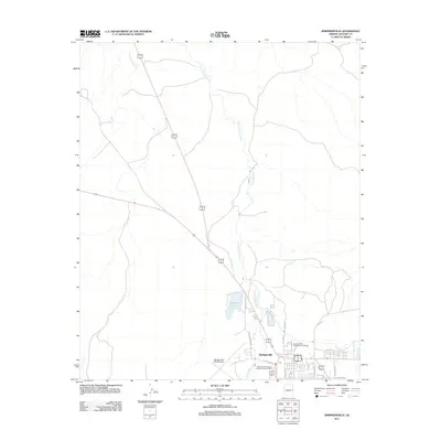
2011 Map of Springerville
USGS Topo · Published 2011About this map
Springerville sits as a high-altitude crossroads in eastern Arizona, where the Little Colorado River winds through a landscape defined by water management and administrative forestry. This 2011 survey highlights the town's role as a regional hub for public lands management, featuring the Apache and Sitgreaves Forest Supervisor Office and the Springerville Forest Service Facility. The confluence of Nutrioso Creek and the river, alongside the prominent Becker Lake, illustrates the vital irrigation and recreational infrastructure required in this arid environment. To the west, Springerville-Babbitt Field serves the area's aviation needs, while residential streets such as Tumbling T Dr and E Maricopa Dr mark the community's footprint south of the river. The map also traces more remote watercourses like Carnero Creek and Picnic Creek, which feed into the primary drainage system of the upper Little Colorado basin.
Find a feature on this map
22 named features on this map. Tap any name to fly to it.
Don’t see what you’re looking for? This feature index may not catch every label — zoom into the map to look around manually.
Map Details
Editions of this 2011 Springerville Map
This is the sole edition of this map. No revisions or reprints were ever made.
Other maps of this area

1886 · St Johns
USGS Topo · 1:250,000

1892 · St Johns
USGS Topo · 1:250,000

1954 · Saint Johns
USGS Topo · 1:250,000

1957 · Saint Johns
USGS Topo · 1:250,000

1958 · Saint Johns
USGS Topo · 1:250,000

1962 · Saint Johns
USGS Topo · 1:250,000

1968 · Springerville NW
USGS Topo · 1:24,000

1969 · Coyote Hills
USGS Topo · 1:24,000
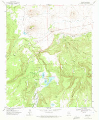
1969 · Greer
USGS Topo · 1:24,000
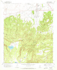
1969 · Eagar
USGS Topo · 1:24,000