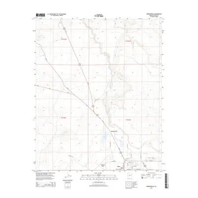
2014 Map of Springerville
USGS Topo · Published 2014About this map
The Little Colorado River winds through the high-country landscape of eastern Arizona, anchoring the neighboring high-desert communities of Springerville and Eagar. This modern topographic survey illustrates the intersection of these two towns within the larger Round Valley, showing a developed grid of residential streets like S Pima Dr and E Main St alongside the commercial corridors of Us-60 and Az-260.
Find a feature on this map
37 named features on this map. Tap any name to fly to it.
Don’t see what you’re looking for? This feature index may not catch every label — zoom into the map to look around manually.
Map Details
Editions of this 2014 Springerville Map
This is the sole edition of this map. No revisions or reprints were ever made.
Other maps of this area

1886 · St Johns
USGS Topo · 1:250,000

1892 · St Johns
USGS Topo · 1:250,000

1954 · Saint Johns
USGS Topo · 1:250,000

1957 · Saint Johns
USGS Topo · 1:250,000

1958 · Saint Johns
USGS Topo · 1:250,000

1962 · Saint Johns
USGS Topo · 1:250,000

1968 · Springerville NW
USGS Topo · 1:24,000

1969 · Coyote Hills
USGS Topo · 1:24,000
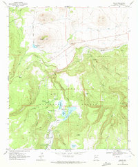
1969 · Greer
USGS Topo · 1:24,000
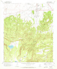
1969 · Eagar
USGS Topo · 1:24,000