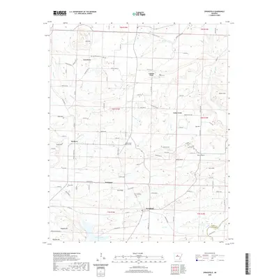
2020 Map of Springfield
USGS Topo · Published 2020About this map
Springfield and the neighboring settlement of Bethlehem anchor this portion of Conway County, where the landscape is defined by a series of prominent ridges and creek valleys. The terrain transitions from the heights of Buck Ridge and Lost Mtn down toward the southern waters of Brewer Lake and Cadron Creek. This 2020 survey reveals a dispersed rural layout, where historical community centers like Catholic Point and Birdtown are connected by a network of winding roads including Bethlehem Rd and Co Hwy 77. Genealogy researchers will find several well-documented burial sites throughout the township, such as Saint Josephs Cem and Kilgore Cem. The presence of the Heifer Creek Ranch Airport and the distinct geography of Ragsdale Mtn illustrate the mix of aviation infrastructure and natural landforms that characterize this part of Arkansas.
Find a feature on this map
104 named features on this map. Tap any name to fly to it.
Don’t see what you’re looking for? This feature index may not catch every label — zoom into the map to look around manually.
Map Details
Editions of this 2020 Springfield Map
This is the sole edition of this map. No revisions or reprints were ever made.
Other maps of this area

1892 · Morrillton
USGS Topo · 1:125,000

1894 · Morrillton
USGS Topo · 1:125,000

1956 · Russellville
USGS Topo · 1:250,000

1961 · Menifee
USGS Topo · 1:24,000

1961 · Morrilton East
USGS Topo · 1:24,000

1961 · Conway
USGS Topo · 1:62,500

1961 · Bee Branch
USGS Topo · 1:62,500

1961 · Greenbrier
USGS Topo · 1:24,000

1961 · Bee Branch
USGS Topo · 1:24,000

1961 · Damascus
USGS Topo · 1:24,000