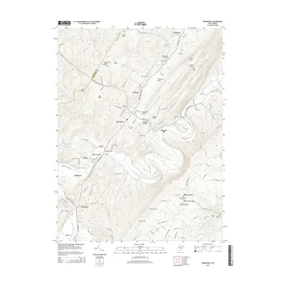
2014 Map of Springfield
USGS Topo · Published 2014About this map
The South Branch Potomac River snakes through the heart of this Hampshire County landscape, creating a series of deep meanders that define local geography. Along these bends, historical river crossings and agricultural hubs like Millesons Mill and the Millesons Mill Bridge illustrate the long-standing reliance on the waterway for industry and transport. The village of Springfield serves as a primary inland anchor, while smaller settlements such as Three Churches and Wapocomo highlight the dispersed nature of these Appalachian communities.
Find a feature on this map
117 named features on this map. Tap any name to fly to it.
Don’t see what you’re looking for? This feature index may not catch every label — zoom into the map to look around manually.
Map Details
Editions of this 2014 Springfield Map
This is the sole edition of this map. No revisions or reprints were ever made.
Other maps of this area

1891 · Romney
USGS Topo · 1:125,000

1898 · Frostburg
USGS Topo · 1:62,500

1899 · Flintstone
USGS Topo · 1:62,500

1900 · Flintstone
USGS Topo · 1:62,500

1901 · Frostburg
USGS Topo · 1:62,500

1908 · Frostburg
USGS Topo · 1:62,500

1920 · Keyser
USGS Topo · 1:62,500

1921 · Keyser
USGS Topo · 1:48,000

1921 · Hanging Rock
USGS Topo · 1:48,000

1922 · Keyser
USGS Topo · 1:62,500