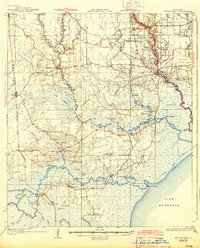
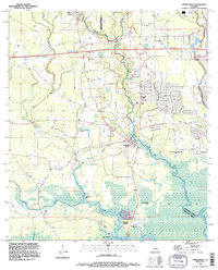
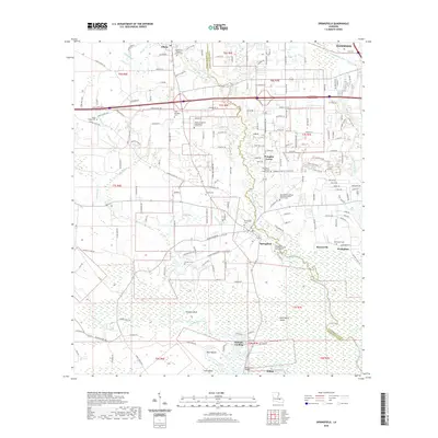
1934 Map of Springfield
USGS Topo · Published 1943About this map
The Amite River and Tickfaw River dominate this low-lying landscape during the early 1930s, winding through dense wetlands and cypress brakes toward Lake Maurepas. At this time, the region relied heavily on its waterways for transport and commerce, evidenced by Romes Ferry crossing the Tickfaw and the navigation aids like the Amite River L.H. beacon at the river's mouth. Small, rural settlements such as Springville, Killian, and Maurepas serve as local hubs, while the Garyville Northern railroad cuts through the western swamps, reflecting the era's timber and rail economy.
Find a feature on this map
83 named features on this map. Tap any name to fly to it.
Don’t see what you’re looking for? This feature index may not catch every label — zoom into the map to look around manually.
Map Details
Editions of this 1934 Springfield Map
2 editions found

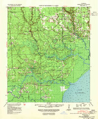
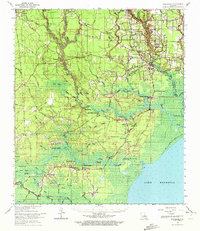
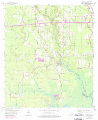
Historical Maps of Hammond Through Time
11 maps found
1934 Springfield
Livingston Parish, LA
1939 Springfield
Livingston Parish, LA
1963 Springfield
Livingston Parish, LA
1963 Springfield
Livingston Parish, LA

1965 Springfield
Livingston Parish, LA
1994 Springfield
Livingston Parish, LA
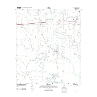
2012 Springfield
Livingston Parish, LA
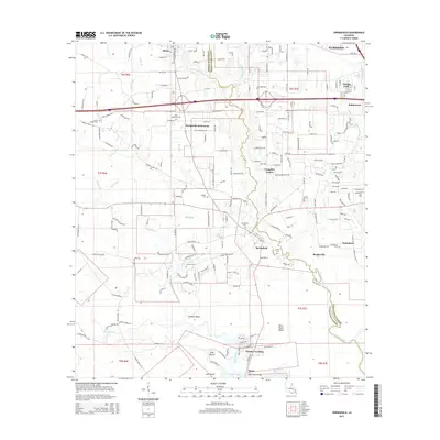
2015 Springfield
Livingston Parish, LA
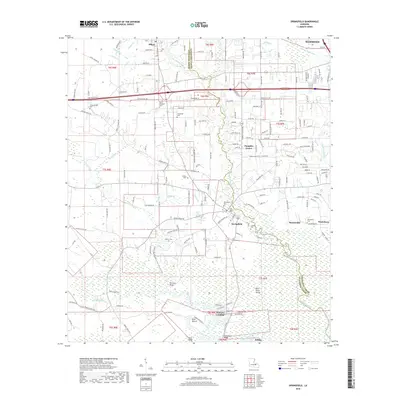
2018 Springfield
Livingston Parish, LA
2020 Springfield
Livingston Parish, LA
2024 Springfield
Livingston Parish, LA