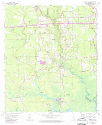
1963 Map of Springfield
USGS Topo · Published 1984About this map
Springfield serves as a central hub on this map, situated where the Natalbany River winds through the wetlands and forests of Livingston Parish. The 1960s landscape reveals a deeply rooted community structure, evidenced by the high concentration of rural churches and family cemeteries such as Hungarian Church, St Margarets Church, and Carters Cemetery. These features, along with names like Simeon, suggest a history of small, localized settlements established long before the modernization represented by the path of Interstate 12.
Find a feature on this map
44 named features on this map. Tap any name to fly to it.
Don’t see what you’re looking for? This feature index may not catch every label — zoom into the map to look around manually.
Map Details
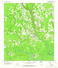
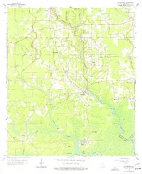
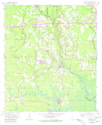
Editions of this 1963 Springfield Map
4 editions found
Other maps of this area

1934 · Springfield
USGS Topo · 1:62,500

1935 · Ponchatoula
USGS Topo · 1:62,500

1939 · Ponchatoula
USGS Topo · 1:62,500

1939 · Springfield
USGS Topo · 1:62,500

1940 · Tickfaw
USGS Topo · 1:31,680

1949 · Albany
USGS Topo · 1:31,680

1950 · Doyle
USGS Topo · 1:31,680

1951 · Ponchatoula
USGS Topo · 1:62,500

1954 · Baton Rouge
USGS Topo · 1:250,000

1956 · Baton Rouge
USGS Topo · 1:250,000