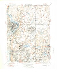
1946 Map of Springfield North
USGS Topo · Published 1954About this map
Holyoke and Chicopee dominate the industrial landscape along the banks of the Connecticut River in this mid-century revision. The map documents a significant era of infrastructure, notably the expansive footprint of Westover Field and the surrounding residential developments of Fairview, Aldenville, and Smith Highlands. The rail corridor of the Boston and Maine RR and the Boston and Albany lines define the transport network connecting the mills and neighborhoods.
Find a feature on this map
74 named features on this map. Tap any name to fly to it.
Don’t see what you’re looking for? This feature index may not catch every label — zoom into the map to look around manually.
Map Details
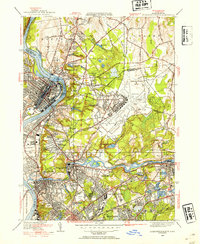
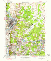
Editions of this 1946 Springfield North Map
3 editions found
Other maps of this area

1885 · Northampton
USGS Topo · 1:62,500

1886 · Springfield
USGS Topo · 1:62,500

1886 · Northampton
USGS Topo · 1:62,500

1887 · Palmer
USGS Topo · 1:62,500

1887 · Belchertown
USGS Topo · 1:62,500

1889 · Springfield
USGS Topo · 1:62,500

1889 · Palmer
USGS Topo · 1:62,500

1890 · Belchertown
USGS Topo · 1:62,500

1891 · Northampton
USGS Topo · 1:62,500

1893 · Northampton
USGS Topo · 1:62,500