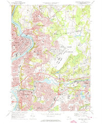
1972 Map of Springfield North
USGS Topo · Published 1974About this map
The Connecticut River and the Chicopee River converge in this densely developed 1970s landscape, illustrating the industrial and military importance of the Pioneer Valley. Industrial history is anchored by the Holyoke Dam and its associated Powerplant, which powered the development of South Hadley Falls and Holyoke. The map shows an extensive collection of educational and religious institutions, such as Elms College and numerous parochial schools including St Joan of Arc Sch and St Aloysius Sch.
Find a feature on this map
102 named features on this map. Tap any name to fly to it.
Don’t see what you’re looking for? This feature index may not catch every label — zoom into the map to look around manually.
Map Details
Editions of this 1972 Springfield North Map
3 editions found

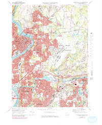
Other maps of this area

1885 · Northampton
USGS Topo · 1:62,500

1886 · Springfield
USGS Topo · 1:62,500

1886 · Northampton
USGS Topo · 1:62,500

1887 · Palmer
USGS Topo · 1:62,500

1887 · Belchertown
USGS Topo · 1:62,500

1889 · Springfield
USGS Topo · 1:62,500

1889 · Palmer
USGS Topo · 1:62,500

1890 · Belchertown
USGS Topo · 1:62,500
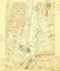
1891 · Northampton
USGS Topo · 1:62,500
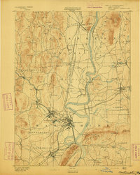
1893 · Northampton
USGS Topo · 1:62,500