
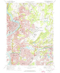
1972 Map of Springfield North
USGS Topo · Published 1979About this map
The industrial and urban heart of the Pioneer Valley is documented here during a period of infrastructure expansion in the early 1970s. The Connecticut River serves as the central spine, dividing Holyoke from South Hadley Falls, with the Holyoke Dam and its associated powerplant anchoring the river's bend. To the east, the sprawling footprint of Westover Air Force Base dominates the landscape, while the southern portion of the map transition into the residential and academic corridors of Springfield and Chicopee.
Find a feature on this map
114 named features on this map. Tap any name to fly to it.
Don’t see what you’re looking for? This feature index may not catch every label — zoom into the map to look around manually.
Map Details
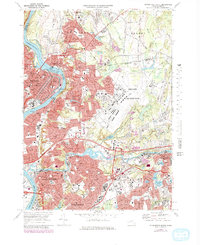
Editions of this 1972 Springfield North Map
3 editions found
Other maps of this area

1885 · Northampton
USGS Topo · 1:62,500

1886 · Springfield
USGS Topo · 1:62,500

1886 · Northampton
USGS Topo · 1:62,500

1887 · Palmer
USGS Topo · 1:62,500

1887 · Belchertown
USGS Topo · 1:62,500

1889 · Springfield
USGS Topo · 1:62,500

1889 · Palmer
USGS Topo · 1:62,500

1890 · Belchertown
USGS Topo · 1:62,500

1891 · Northampton
USGS Topo · 1:62,500

1893 · Northampton
USGS Topo · 1:62,500