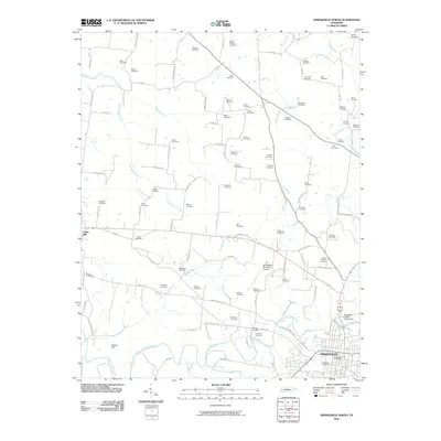
2010 Map of Springfield North
USGS Topo · Published 2010About this map
The Springfield city limits and its northern rural environs are defined by a complex network of family cemeteries and winding watercourses. This landscape is shaped by the Sulphur Fork Red River and its many tributaries, including Buzzard Creek and Spring Creek, which drain the agricultural land north of the city center. The dense concentration of family burial grounds, such as Winn Cemetery, Shelton Cemetery, and Highsmith Cemetery, suggests a long history of local land ownership and ancestral ties across Robertson County. Modern development is anchored in the south by the Springfield Municipal Airport and the Robertson County Fairgrounds, while the smaller communities of Cedar Hill and Frazier Hill stand on the western periphery of this 2010 survey.
Find a feature on this map
100 named features on this map. Tap any name to fly to it.
Don’t see what you’re looking for? This feature index may not catch every label — zoom into the map to look around manually.
Map Details
Editions of this 2010 Springfield North Map
This is the sole edition of this map. No revisions or reprints were ever made.
Other maps of this area

1903 · Nashville
USGS Topo · 1:125,000

1931 · Ridgetop
USGS Topo · 1:62,500

1935 · Ridgetop
USGS Topo · 1:62,500

1950 · Allensville
USGS Topo · 1:24,000

1951 · Adairville
USGS Topo · 1:24,000

1951 · Dot
USGS Topo · 1:24,000

1952 · Springfield North
USGS Topo · 1:24,000

1952 · Youngville
USGS Topo · 1:24,000

1956 · Nashville
USGS Topo · 1:250,000

1957 · Adams
USGS Topo · 1:24,000