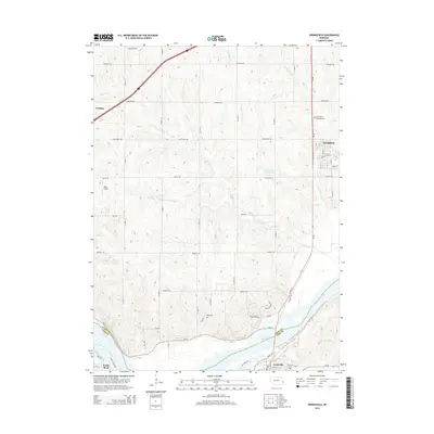
2014 Map of Springfield
USGS Topo · Published 2014About this map
The Platte River defines the southern reach of this landscape, marking the boundary between Sarpy County and Cass County. This section of Nebraska shows a transition from the agricultural uplands toward the river valley, where the small settlements of Springfield and Gretna serve as local anchors. Several watercourses, including Buffalo Creek, Turtle Creek, and Springfield Creek, drain the undulating terrain toward the south. Local history is anchored by several burial grounds, such as Springfield Memorial Cem and the Ball Cem located further south. The map also records the rural infrastructure of the early 21st century, including the Koke Airport west of the central hills and the Turtle Creek Reservoir 2. To the south, the community of Louisville sits just across the water, connected by the regional artery of State Highway 50.
Find a feature on this map
39 named features on this map. Tap any name to fly to it.
Don’t see what you’re looking for? This feature index may not catch every label — zoom into the map to look around manually.
Map Details
Editions of this 2014 Springfield Map
This is the sole edition of this map. No revisions or reprints were ever made.
Other maps of this area

1893 · Fremont
USGS Topo · 1:125,000

1896 · Fremont
USGS Topo · 1:125,000

1903 · Weeping Water
USGS Topo · 1:125,000

1929 · Weeping Water
USGS Topo · 1:125,000

1955 · Fremont
USGS Topo · 1:250,000

1955 · Lincoln
USGS Topo · 1:250,000

1956 · Gretna
USGS Topo · 1:24,000

1956 · Cedar Creek
USGS Topo · 1:24,000

1956 · Ralston
USGS Topo · 1:24,000

1956 · Springfield
USGS Topo · 1:24,000