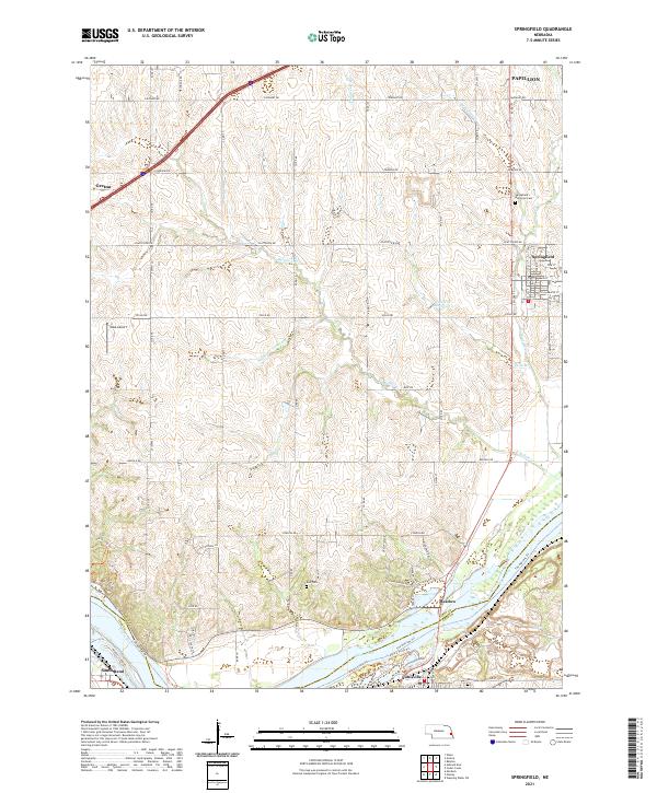
2021 Map of Springfield
USGS Topo · Published 2021About this map
Springfield and the surrounding Sarpy County landscape are defined by a network of drainage systems feeding into the Platte River, which forms the southwestern boundary of this area. The map illustrates a well-organized grid of rural roads such as Platteview Rd and Cape Hart Rd that intersect with growing residential corridors. Local history is anchored by several burial grounds, including Springfield Memorial Cem and the more remote Ball Cem situated near the rolling hills of the river valley.
Find a feature on this map
32 named features on this map. Tap any name to fly to it.
Don’t see what you’re looking for? This feature index may not catch every label — zoom into the map to look around manually.
Map Details
Editions of this 2021 Springfield Map
This is the sole edition of this map. No revisions or reprints were ever made.
Other maps of this area

1893 · Fremont
USGS Topo · 1:125,000

1896 · Fremont
USGS Topo · 1:125,000

1903 · Weeping Water
USGS Topo · 1:125,000

1929 · Weeping Water
USGS Topo · 1:125,000

1955 · Fremont
USGS Topo · 1:250,000

1955 · Lincoln
USGS Topo · 1:250,000

1956 · Gretna
USGS Topo · 1:24,000

1956 · Cedar Creek
USGS Topo · 1:24,000

1956 · Ralston
USGS Topo · 1:24,000

1956 · Springfield
USGS Topo · 1:24,000