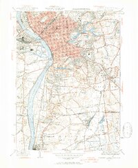
1944 Map of Springfield South
USGS Topo · Published 1954About this map
Springfield and its surrounding communities are documented here during the mid-1940s, a period defined by the industrial and military importance of the U S Armory. The urban core around Winchester Square gives way to expansive parks and recreational spaces, including Forest Park and the Longmeadow Country Club. The Connecticut River serves as the primary geographic anchor, separating West Springfield and Agawam from the eastern settlements.
Find a feature on this map
72 named features on this map. Tap any name to fly to it.
Don’t see what you’re looking for? This feature index may not catch every label — zoom into the map to look around manually.
Map Details
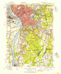
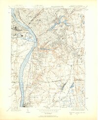
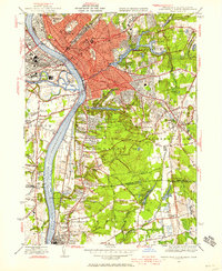
Editions of this 1944 Springfield South Map
4 editions found
Other maps of this area

1886 · Springfield
USGS Topo · 1:62,500

1887 · Palmer
USGS Topo · 1:62,500

1889 · Springfield
USGS Topo · 1:62,500

1889 · Palmer
USGS Topo · 1:62,500

1892 · Hartford
USGS Topo · 1:62,500

1892 · Tolland
USGS Topo · 1:62,500

1893 · Springfield
USGS Topo · 1:62,500

1893 · Palmer
USGS Topo · 1:62,500

1895 · Springfield
USGS Topo · 1:62,500

1896 · Holyoke
USGS Topo · 1:125,000