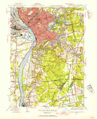
1944 Map of Springfield South
USGS Topo · Published 1954About this map
The Connecticut River serves as the dominant geographic spine for this mid-century survey, dividing the urbanized reaches of Springfield and West Springfield from the southern residential and institutional landscapes. The map provides a detailed look at the infrastructure supporting the region during World War II, notably the prominent US Armory and Springfield College. The rail network is well-defined, showing the Union Sta hub and the Boston and Albany RR tracks cutting through the city's densely settled blocks.
Find a feature on this map
106 named features on this map. Tap any name to fly to it.
Don’t see what you’re looking for? This feature index may not catch every label — zoom into the map to look around manually.
Map Details
Editions of this 1944 Springfield South Map
4 editions found
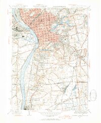
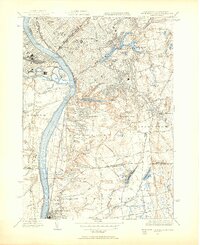
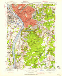
Other maps of this area

1886 · Springfield
USGS Topo · 1:62,500

1887 · Palmer
USGS Topo · 1:62,500

1889 · Springfield
USGS Topo · 1:62,500

1889 · Palmer
USGS Topo · 1:62,500

1892 · Hartford
USGS Topo · 1:62,500

1892 · Tolland
USGS Topo · 1:62,500

1893 · Springfield
USGS Topo · 1:62,500

1893 · Palmer
USGS Topo · 1:62,500

1895 · Springfield
USGS Topo · 1:62,500

1896 · Holyoke
USGS Topo · 1:125,000