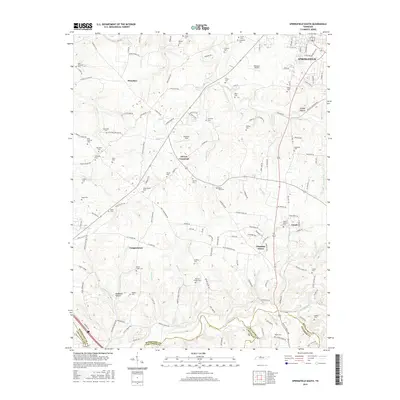
2016 Map of Springfield South
USGS Topo · Published 2016About this map
The town of Springfield serves as the focal point in this 2016 survey, where the CSX rail corridor cuts through the northern landscape. This portion of Middle Tennessee is defined by a dense network of family-named cemeteries and rural crossroads, reflecting a long-standing pattern of dispersed agricultural settlements. Communities like Coopertown and Chestnut Grove are situated among a system of winding waterways including Sycamore Creek and Battle Creek, which carve through the terrain to create distinctive features such as Sleepy Hollow and McMahon Hollow.
Find a feature on this map
154 named features on this map. Tap any name to fly to it.
Don’t see what you’re looking for? This feature index may not catch every label — zoom into the map to look around manually.
Map Details
Editions of this 2016 Springfield South Map
This is the sole edition of this map. No revisions or reprints were ever made.
Other maps of this area

1903 · Nashville
USGS Topo · 1:125,000

1931 · Ridgetop
USGS Topo · 1:62,500

1935 · Ridgetop
USGS Topo · 1:62,500

1952 · Springfield North
USGS Topo · 1:24,000

1952 · Youngville
USGS Topo · 1:24,000

1955 · Whites Creek
USGS Topo · 1:24,000

1955 · Forest Grove
USGS Topo · 1:24,000

1956 · Nashville
USGS Topo · 1:250,000

1957 · Adams
USGS Topo · 1:24,000

1957 · Pleasant View
USGS Topo · 1:24,000