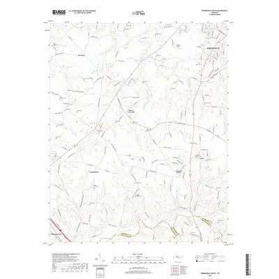
2019 Map of Springfield South
USGS Topo · Published 2019About this map
Coopertown and Chestnut Grove anchor this region of Tennessee, where the landscape is defined by the headwaters of Sycamore Creek and its many winding tributaries. The map documents a dense network of family and community landmarks, particularly evident in the high concentration of small burial sites such as Saint Michaels Cem, Martins Chapel Cem, and Lipscomb Cem. These points of interest, many associated with local surnames, suggest a long-standing pattern of rural settlement and agrarian life in Robertson and Davidson counties.
Find a feature on this map
166 named features on this map. Tap any name to fly to it.
Don’t see what you’re looking for? This feature index may not catch every label — zoom into the map to look around manually.
Map Details
Editions of this 2019 Springfield South Map
This is the sole edition of this map. No revisions or reprints were ever made.
Other maps of this area

1903 · Nashville
USGS Topo · 1:125,000

1931 · Ridgetop
USGS Topo · 1:62,500

1935 · Ridgetop
USGS Topo · 1:62,500

1952 · Springfield North
USGS Topo · 1:24,000

1952 · Youngville
USGS Topo · 1:24,000

1955 · Whites Creek
USGS Topo · 1:24,000

1955 · Forest Grove
USGS Topo · 1:24,000

1956 · Nashville
USGS Topo · 1:250,000

1957 · Adams
USGS Topo · 1:24,000

1957 · Pleasant View
USGS Topo · 1:24,000