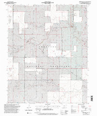
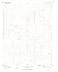
1996 Map of Springfield SW
USGS Topo · Published 2000About this map
The Comanche National Grassland dominates this section of the High Plains in Baca County, Colorado. Revised in the mid-1990s, the map reveals a landscape defined by an extensive network of ephemeral drainage patterns like Lone Rock Draw and numerous artificial water sources essential for cattle and agriculture in this semi-arid environment. The presence of the Colorado State University Experiment Station in the northwest corner highlights the region's importance for dryland agricultural research and range management. Small pockets of human activity are noted by the settlement at Liberty and specialized infrastructure such as a Communication Tower and a Gravel Pit. The map effectively illustrates the transition between federal grassland and the geometric grid of private landholdings, with Little Bankiter Well and other named water points serving as critical landmarks for local navigation and land use history.
Find a feature on this map
11 named features on this map. Tap any name to fly to it.
Don’t see what you’re looking for? This feature index may not catch every label — zoom into the map to look around manually.
Map Details
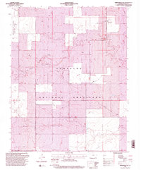
Editions of this 1996 Springfield SW Map
2 editions found
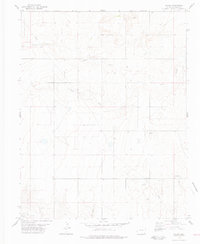
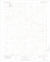
Other maps of this area

1891 · Springfield
USGS Topo · 1:125,000

1893 · Springfield
USGS Topo · 1:125,000

1955 · La Junta
USGS Topo · 1:250,000

1958 · La Junta
USGS Topo · 1:250,000

1968 · La Junta
USGS Topo · 1:250,000
1978 · Edler
USGS Topo · 1:24,000
1978 · Pritchett
USGS Topo · 1:24,000
1978 · Springfield SW
USGS Topo · 1:24,000
1978 · Campo NE
USGS Topo · 1:24,000
1978 · Harbord
USGS Topo · 1:24,000