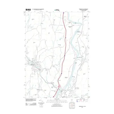
2012 Map of Springfield
USGS Topo · Published 2012About this map
The Connecticut River serves as the central artery for this borderland, separating Vermont and New Hampshire as it flows past Skitchewaug Mountain. On the Vermont side, Springfield appears as a dense hub of activity, where the Black River creates a distinctive urban landscape featuring the Park Street Bridge and Bridge Street Bridge. This area is a significant focal point for local history, containing numerous burial grounds such as Oakland Cem and Saint Marys Cem.
Find a feature on this map
161 named features on this map. Tap any name to fly to it.
Don’t see what you’re looking for? This feature index may not catch every label — zoom into the map to look around manually.
Map Details
Editions of this 2012 Springfield Map
This is the sole edition of this map. No revisions or reprints were ever made.
Other maps of this area

1926 · Claremont
USGS Topo · 1:62,500

1927 · Bellows Falls
USGS Topo · 1:48,000

1928 · Ludlow
USGS Topo · 1:48,000

1929 · Claremont
USGS Topo · 1:62,500

1929 · Ludlow
USGS Topo · 1:62,500

1930 · Saxtons River
USGS Topo · 1:48,000

1930 · Bellows Falls
USGS Topo · 1:62,500

1932 · Ludlow
USGS Topo · 1:62,500

1933 · Saxtons River
USGS Topo · 1:62,500

1950 · Glens Falls
USGS Topo · 1:250,000