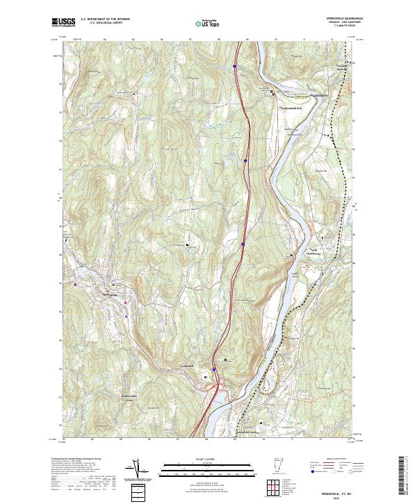
2024 Map of Springfield
USGS Topo · Published 2024About this map
The Black River carves a steep path through the landscape of Springfield, powering the legacy of Goulds Mill before it joins the wide valley of the Connecticut River. This modern survey documents the intricate boundary between Windsor Co Vermont and Sullivan County, New Hampshire, where the river serves as both a border and a vital corridor. The industrial history of the region is evident in the Claremont & Concord RR and the Toonerville Rail Trl, which follow the riverbanks alongside older thoroughfares like the Old Connecticut River Rd.
Find a feature on this map
146 named features on this map. Tap any name to fly to it.
Don’t see what you’re looking for? This feature index may not catch every label — zoom into the map to look around manually.
Map Details
Editions of this 2024 Springfield Map
This is the sole edition of this map. No revisions or reprints were ever made.
Other maps of this area

1926 · Claremont
USGS Topo · 1:62,500

1927 · Bellows Falls
USGS Topo · 1:48,000

1928 · Ludlow
USGS Topo · 1:48,000

1929 · Claremont
USGS Topo · 1:62,500

1929 · Ludlow
USGS Topo · 1:62,500

1930 · Saxtons River
USGS Topo · 1:48,000

1930 · Bellows Falls
USGS Topo · 1:62,500

1932 · Ludlow
USGS Topo · 1:62,500

1933 · Saxtons River
USGS Topo · 1:62,500

1950 · Glens Falls
USGS Topo · 1:250,000