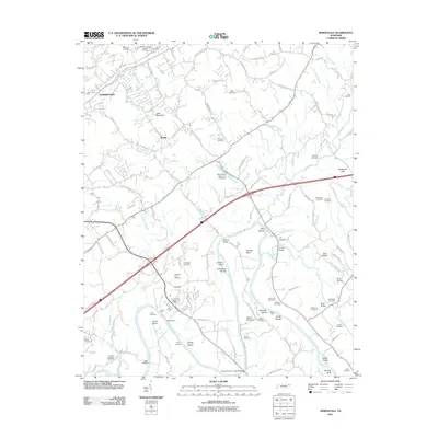
2011 Map of Springvale
USGS Topo · Published 2011About this map
The Nolichucky River winds through this landscape south of Morristown, shaping a terrain defined by river bends and islands. Small settlements like Lowland and Dover anchor the local geography, with the Lowland Post Office serving as a central point for the surrounding rural area. Significant water features such as Bent Creek and Turkey Creek feed into the river system, which is spanned by structures like the Susong Bridge and the David Thomas Jones Bridge.
Find a feature on this map
127 named features on this map. Tap any name to fly to it.
Don’t see what you’re looking for? This feature index may not catch every label — zoom into the map to look around manually.
Map Details
Editions of this 2011 Springvale Map
This is the sole edition of this map. No revisions or reprints were ever made.
Other maps of this area

1883 · Morristown
USGS Topo · 1:125,000

1893 · Morristown
USGS Topo · 1:125,000

1895 · Morristown
USGS Topo · 1:125,000

1935 · White Pine
USGS Topo · 1:24,000

1935 · Rogersville
USGS Topo · 1:48,000

1935 · Tate Springs
USGS Topo · 1:48,000

1935 · Parrottsville
USGS Topo · 1:24,000

1935 · Springvale
USGS Topo · 1:24,000

1935 · Morristown
USGS Topo · 1:24,000

1935 · Russellville
USGS Topo · 1:24,000