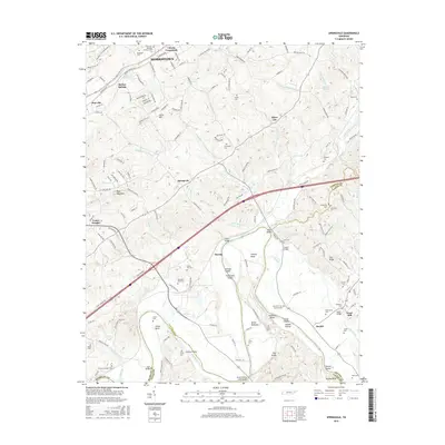
2016 Map of Springvale
USGS Topo · Published 2016About this map
Morristown and its eastern environs are defined here by the winding course of the Nolichucky River, which carves deep bends and islands through the landscape of the early 2010s. The map captures a high density of family and community history, evidenced by numerous burial grounds such as the Thomas Jarnagin Cem and Hamblen Memory Gardens Cem. Cultural landmarks like Bethesda Ch and historical industry at Scoot Mill suggest a long-established rural economy transitioning into more modern residential patterns near Cheeks Crossroads. River-crossings are prominent, with the Susong Bridge and Hale Bridge connecting the agricultural river bottoms. Terrain features like the ridge of Bays Mountain and the distinct islands of Hurley Island and Steele Island illustrate the complex topography where Hamblen Co, Greene Co, and Cocke Co meet.
Find a feature on this map
169 named features on this map. Tap any name to fly to it.
Don’t see what you’re looking for? This feature index may not catch every label — zoom into the map to look around manually.
Map Details
Editions of this 2016 Springvale Map
This is the sole edition of this map. No revisions or reprints were ever made.
Other maps of this area

1883 · Morristown
USGS Topo · 1:125,000

1893 · Morristown
USGS Topo · 1:125,000

1895 · Morristown
USGS Topo · 1:125,000

1935 · White Pine
USGS Topo · 1:24,000

1935 · Rogersville
USGS Topo · 1:48,000

1935 · Tate Springs
USGS Topo · 1:48,000

1935 · Parrottsville
USGS Topo · 1:24,000

1935 · Springvale
USGS Topo · 1:24,000

1935 · Morristown
USGS Topo · 1:24,000

1935 · Russellville
USGS Topo · 1:24,000