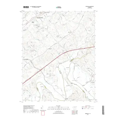
2019 Map of Springvale
USGS Topo · Published 2019About this map
The Nolichucky River winds through the southern landscape of this quadrangle, defining a complex riparian environment of named islands and shoals at the convergence of Hamblen, Greene, and Cocke Counties. Significant river features like Chucky Bend, Johnson Island, and Andersons Shoals reveal the historic importance of the waterway's topography. The area is dotted with numerous family and community burial grounds, including the Thomas Jarnagin Cem and Old Saint Paul Cem, providing critical touchpoints for genealogical research.
Find a feature on this map
168 named features on this map. Tap any name to fly to it.
Don’t see what you’re looking for? This feature index may not catch every label — zoom into the map to look around manually.
Map Details
Editions of this 2019 Springvale Map
This is the sole edition of this map. No revisions or reprints were ever made.
Other maps of this area

1883 · Morristown
USGS Topo · 1:125,000

1893 · Morristown
USGS Topo · 1:125,000

1895 · Morristown
USGS Topo · 1:125,000

1935 · White Pine
USGS Topo · 1:24,000

1935 · Rogersville
USGS Topo · 1:48,000

1935 · Tate Springs
USGS Topo · 1:48,000

1935 · Parrottsville
USGS Topo · 1:24,000

1935 · Springvale
USGS Topo · 1:24,000

1935 · Morristown
USGS Topo · 1:24,000

1935 · Russellville
USGS Topo · 1:24,000