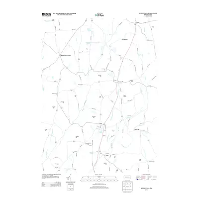
2013 Map of Springville
USGS Topo · Published 2013About this map
Springville stands as a central hub in this section of Susquehanna County, where the landscape is defined by the winding course of Thomas Cr and numerous family-named peaks. The settlement pattern follows a network of rural roads connecting small hamlets like Lynn, Lymanville, and Auburn Four Corners. This 2013 survey illustrates a region where water management and agriculture remain vital, evidenced by the distribution of bodies such as Lake Walter, Lake Crystella, and Gardners Pond. Genealogists may find particular value in the location of the Lynn Cemetery and the many named hills, including Strickland Hill, Meachem Hill, and Jennings Hill, which often reflect historical land ownership. The area maintains its rural character through established crossroads such as Kasson Corners and Bennett Corners, preserving a layout that has likely seen minimal change to its fundamental geography over several generations.
Find a feature on this map
111 named features on this map. Tap any name to fly to it.
Don’t see what you’re looking for? This feature index may not catch every label — zoom into the map to look around manually.
Map Details
Editions of this 2013 Springville Map
This is the sole edition of this map. No revisions or reprints were ever made.
Other maps of this area

1943 · Montrose
USGS Topo · 1:62,500

1943 · Le Raysville
USGS Topo · 1:62,500

1945 · Montrose
USGS Topo · 1:62,500

1945 · Le Raysville
USGS Topo · 1:62,500

1945 · Meshoppen
USGS Topo · 1:62,500

1945 · Auburn Center
USGS Topo · 1:24,000

1945 · Meshoppen
USGS Topo · 1:24,000

1946 · Tunkhannock
USGS Topo · 1:62,500

1946 · Factoryville
USGS Topo · 1:24,000

1946 · Springville
USGS Topo · 1:24,000