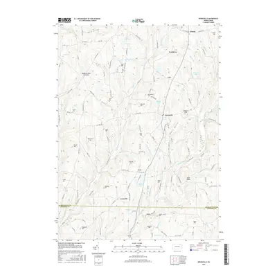
2016 Map of Springville
USGS Topo · Published 2016About this map
Springville serves as the central hub of this Susquehanna County landscape, where the headwaters of Meshoppen Creek and its various branches carve through a series of prominent elevations. The terrain is defined by family-named landmarks such as Meachem Hill, Jennings Hill, and Avery Hill, alongside the curious nomenclature of Gobblers Knob and Negro Hollow. This 2016 survey illustrates a rural infrastructure centered on crossroads settlements like Auburn Four Corners and Lymanville, connected by a network of state routes and winding township roads.
Find a feature on this map
114 named features on this map. Tap any name to fly to it.
Don’t see what you’re looking for? This feature index may not catch every label — zoom into the map to look around manually.
Map Details
Editions of this 2016 Springville Map
This is the sole edition of this map. No revisions or reprints were ever made.
Other maps of this area

1943 · Montrose
USGS Topo · 1:62,500

1943 · Le Raysville
USGS Topo · 1:62,500

1945 · Montrose
USGS Topo · 1:62,500

1945 · Le Raysville
USGS Topo · 1:62,500

1945 · Meshoppen
USGS Topo · 1:62,500

1945 · Auburn Center
USGS Topo · 1:24,000

1945 · Meshoppen
USGS Topo · 1:24,000

1946 · Tunkhannock
USGS Topo · 1:62,500

1946 · Factoryville
USGS Topo · 1:24,000

1946 · Springville
USGS Topo · 1:24,000