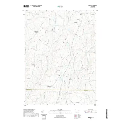
2019 Map of Springville
USGS Topo · Published 2019About this map
Springville serves as a central hub in this corner of Pennsylvania, where the landscape is defined by a dense network of glacial lakes and named ridges. Local history is etched into the terrain at Gobblers Knob and Negro Hollow, while family legacies are preserved in numerous rural burial grounds like Quick Cem, Bunnell Cem, and Tyler Hill Cem. The area’s hydrology is particularly complex, with Lake Walter, Lake Crystella, and Broadhead Pond feeding the various branches of Meshoppen Creek and White Cr.
Find a feature on this map
132 named features on this map. Tap any name to fly to it.
Don’t see what you’re looking for? This feature index may not catch every label — zoom into the map to look around manually.
Map Details
Editions of this 2019 Springville Map
This is the sole edition of this map. No revisions or reprints were ever made.
Other maps of this area

1943 · Montrose
USGS Topo · 1:62,500

1943 · Le Raysville
USGS Topo · 1:62,500

1945 · Montrose
USGS Topo · 1:62,500

1945 · Le Raysville
USGS Topo · 1:62,500

1945 · Meshoppen
USGS Topo · 1:62,500

1945 · Auburn Center
USGS Topo · 1:24,000

1945 · Meshoppen
USGS Topo · 1:24,000

1946 · Tunkhannock
USGS Topo · 1:62,500

1946 · Factoryville
USGS Topo · 1:24,000

1946 · Springville
USGS Topo · 1:24,000